By ABAH ADAH, Abuja
The Nigerian Solid Minerals Development Fund, SMDF, has organised a workshop for its technical staff on the use of remote sensing imagery for geological applications.
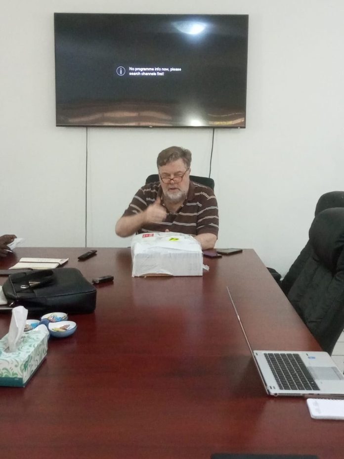
The one-day workshop held at the SMDF office on Thursday in Abuja, with some staff of the Ministry of Solid Minerals Development, MSMD, Council of Nigerian Mining Engineers and Geoscientists, COMEG, among other relevant agencies also in attendance, was anchored by an image processing specialist, Neil Pendock.
Presenting an overview prior to the technical sessions, Pendock said for a geologist who wants to perform mineral exploration or mapping with enhanced efficiency and have bankable data of deposits, remote sensing is very important.
He said in the cause of the training, he was going to introduce the participants to a couple of Japanese satellite technologies launched in December 1999 which can be used in the mineral exploration and mapping business more efficiently.
“So, using remote sensing is very important. Take for example you want to map banded iron stone, pegmatite, hydrocarbon, phosphate, lead-zink, etc., I can show you what title you can get free from the satellite, and how you would download, process, interprete, and use that title,” he said.
The expert explained that the Japanese satellite technology has three systems of interest, namely visible near-infrared, short wave infrared, and long wave infrared for mapping different minerals of interest, adding that it can even be used in mapping hydrogen gas which is the future of energy source for nations, Nigeria inclusive.
Pendock said the usefulness of the technology transcends efficiency in deposit mapping to management.
“If you have someone from China, for instance, coming down to Nigeria to get a mining licence and operate, you can watch what they are doing using the remote sensing technology,” he said.
According to him, Nigeria being a stable democracy now with rich mineral resources can compete favourably with other equally mineral rich nations, but what is needed is for it to organise its data better in a more transparent manner, a feat that is readily achievable with the remote sensing technology.
Also speaking on the essence of the workshop, the head of Geoscience Data Management, SMDF, Kefas Malgwi, said they wanted to see how they could improve nation’s exploration activities to discover world-class deposits for investors to come to Nigeria for them by using the Japanese technology to interprete with accuracy the mineralisation.


